AerTwin · try the interface

This is a mock-up, not the software. The controls, panels and wording are the ones that ship; the twin is a still picture, so every figure below is worked out from where you click on it. In AerTwin the model is measured on the server and only video comes back.

Book a demo What AerTwin is
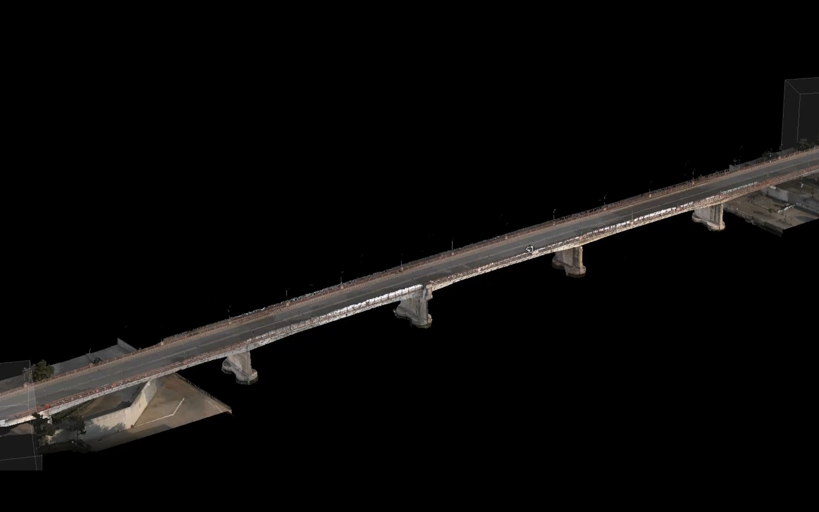
A bridge reconstructed in 3D from photographs and LiDAR, seen from above and to one side.
063°grid north
AerTwin Bridge · deck and piers navigate: drag orbits · wheel zooms · double-click focuses
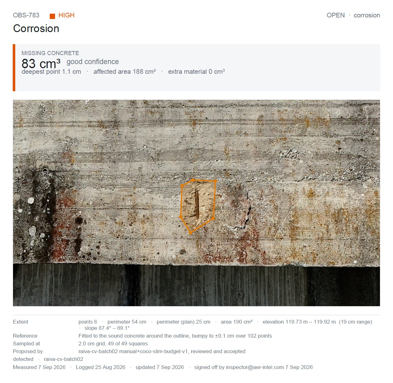
Try: 1Open Observations 2Measure → Area, then click three points on the structure 3AI defects → Review nearby → sign one off 4Turn on Explain and press anything

What is real here: the controls, their order and their wording; the three account types and what each may do; the rule that a machine proposal needs a named person before it reaches a report; the four words a measurement can carry, including Not measurable, which is printed instead of a figure the capture cannot support. What is not: the 3D model — it is one photograph of a twin — so the figures here are arithmetic on your clicks, offered to show the shape of the answer rather than the answer. What AerTwin is · Ask for the accuracy statement